Planning The Ride
A 40-mile trip on Vermont’s steep gravel roads, on a relatively lightweight gravel bike feels like riding 100 miles on the local 9W New York to Bear Mountain loop. To ride 265 miles in 4 days on a fully loaded gravel bike (weighing 50+ pounds), there needed to be the perfect plan.
Stage one in planning the route was to use Google Maps to form a general outline of the start and end points. The start point was Londonderry, and the goal was to face Roxbury Gap, Lincoln Gap, and Brandon Gap, hopefully all three in one day. Once the mission to climb the Gaps was accomplished, the route had to travel South back to Londonderry, this time around on different roads. Once the initial outline was drawn, the most important task was to pinpoint possible locations to set up camp for each night, and identify food refuel stops. This is the stage where the perfect outline changes completely, and miles are added & omitted to meet the demands of reality. Another 20 miles a day to reach a campsite, another 10 miles to reach a food stop, and so on.
Once the route was set, it was time for quality assurance. That’s where looking at satellite imagery and spying on other riders who’ve already explored some of the area was about to pay off. Ride With GPS is a really easy tool for this. Bear in mind, you can do all the planning in the world. You will most certainly encounter obstacles and roads that exist on a map, but not in real life.
Day 1 - Londonderry to East Bernard
Fast forward to the grand départ. After packing the bags, squeezing every bit of air out of them, and installing them on the bike, I penned some trail notes and it was time to rock’n’roll. I said à bientôt to Londonderry, VT at around 9:00 am on Friday morning and kicked out the first few pedal strokes of this 265-mile journey.
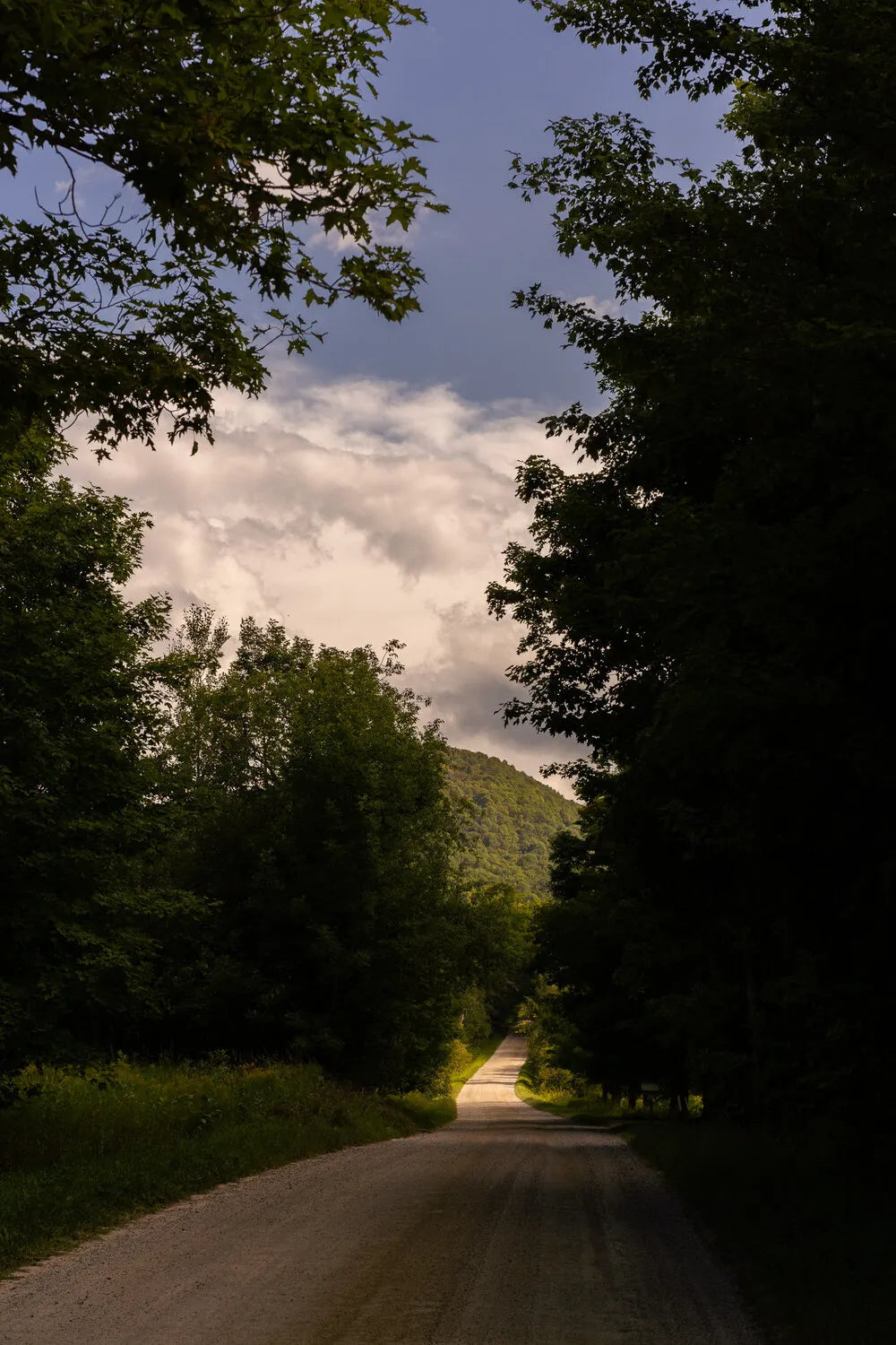
It very quickly became apparent that every little bump on the Wahoo bike computer’s elevation profile was a full-on proper climb. Tackling 15% gravel inclines one after another from the get go was unforgiving. Despite all that climbing, the route on the first day was beautiful enough for my mind to dull the pain in my legs. The struggle up the steep roads would be rewarded by jaw-dropping descents alongside mountain creeks that opened up to expansive rolling hills and farmlands for as far as the eye could see. The rollercoaster of the elevation profile produced a rollercoaster of pain, awe, smiles, and screams.
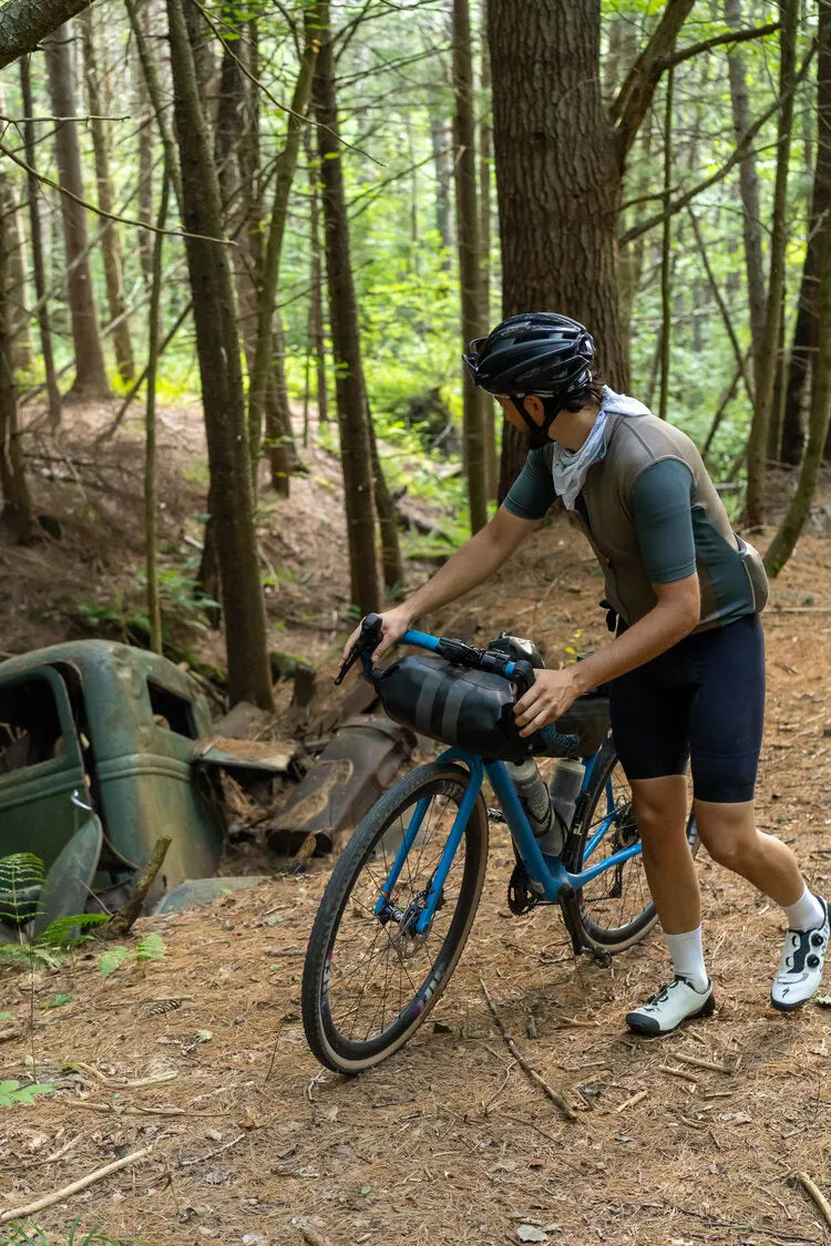
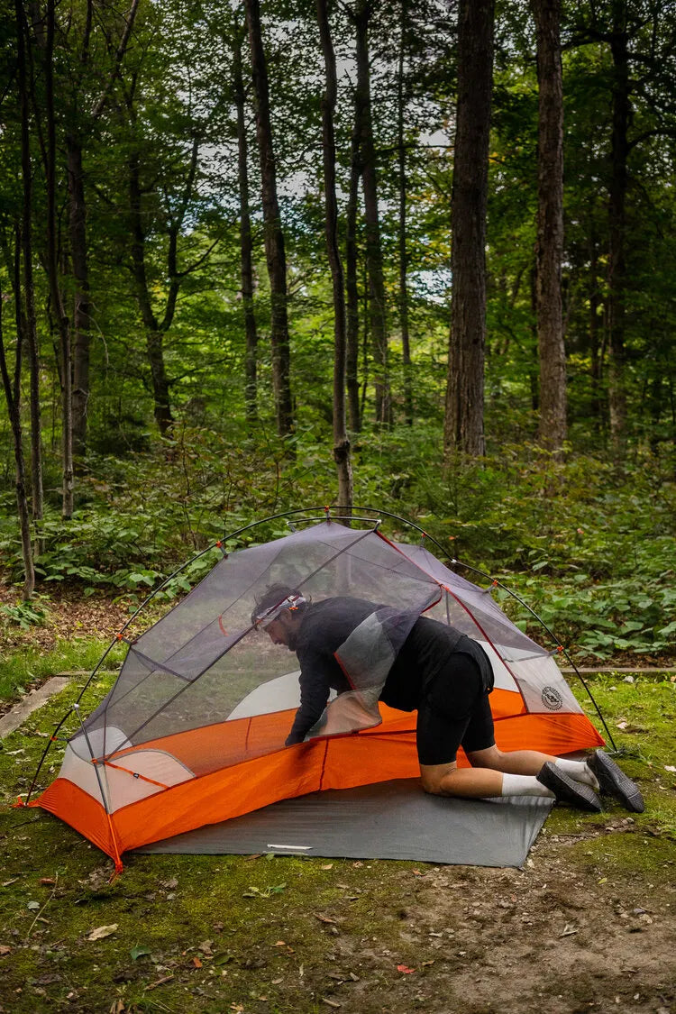
After 9 hours, 74 miles, and 9,200 ft of elevation gain, I rolled into the tiny village of East Barnard, VT, population: 947. The three-quarter mile hike up the hill to the lean-to in the Amity Pond Natural Area commenced. Some cows said “moo” on the way up and as my bike was pushed up through the mud, what must’ve been an 80-year old pickup truck being consumed by the riverbank exposed itself. After the steep hike-a-bike, the trail widened and revealed the lean-to (a 3-walled shelter for hikers). A stack of chopped firewood and some old newspapers for kindling was a welcome surprise. I pitched the tent, ran up through the woods to the overlook, heated up a delicious chicken and rice camping meal and got a fire going. At last, some peace, quiet and relaxation. But not for long though.
Directly above the fire pit, about 30 feet up in a tree, some crazy loud bird started calling away to his friends in the forest just as night fell. This “hoo-hoo-hoo-weeeeeeee” reverberated throughout the woods every 10 minutes for the next few hours. For a while, his friends replied in the distance. Then at around 11:00pm after the fire extinguished, I got into my tent and settled in. The winged creature in the tree persisted to put the call out, but none of his friends responded anymore, and I said “Hey man, I’m pretty sure all your friends are asleep now.” Then dozed off.
Day 2 - East Bernard to Washington
Fast forward to the grand départ. After packing the bags, squeezing every bit of air out of them, and installing them on the bike, I penned some trail notes and it was time to rock’n’roll. I said à bientôt to Londonderry, VT at around 9:00 am on Friday morning and kicked out the first few pedal strokes of this 265-mile journey.
It very quickly became apparent that every little bump on the Wahoo bike computer’s elevation profile was a full-on proper climb. Tackling 15% gravel inclines one after another from the get go was unforgiving. Despite all that climbing, the route on the first day was beautiful enough for my mind to dull the pain in my legs. The struggle up the steep roads would be rewarded by jaw-dropping descents alongside mountain creeks that opened up to expansive rolling hills and farmlands for as far as the eye could see. The rollercoaster of the elevation profile produced a rollercoaster of pain, awe, smiles, and screams.
After 9 hours, 74 miles, and 9,200 ft of elevation gain, I rolled into the tiny village of East Barnard, VT, population: 947. The three-quarter mile hike up the hill to the lean-to in the Amity Pond Natural Area commenced. Some cows said “moo” on the way up and as my bike was pushed up through the mud, what must’ve been an 80-year old pickup truck being consumed by the riverbank exposed itself. After the steep hike-a-bike, the trail widened and revealed the lean-to (a 3-walled shelter for hikers). A stack of chopped firewood and some old newspapers for kindling was a welcome surprise. I pitched the tent, ran up through the woods to the overlook, heated up a delicious chicken and rice camping meal and got a fire going. At last, some peace, quiet and relaxation. But not for long though.
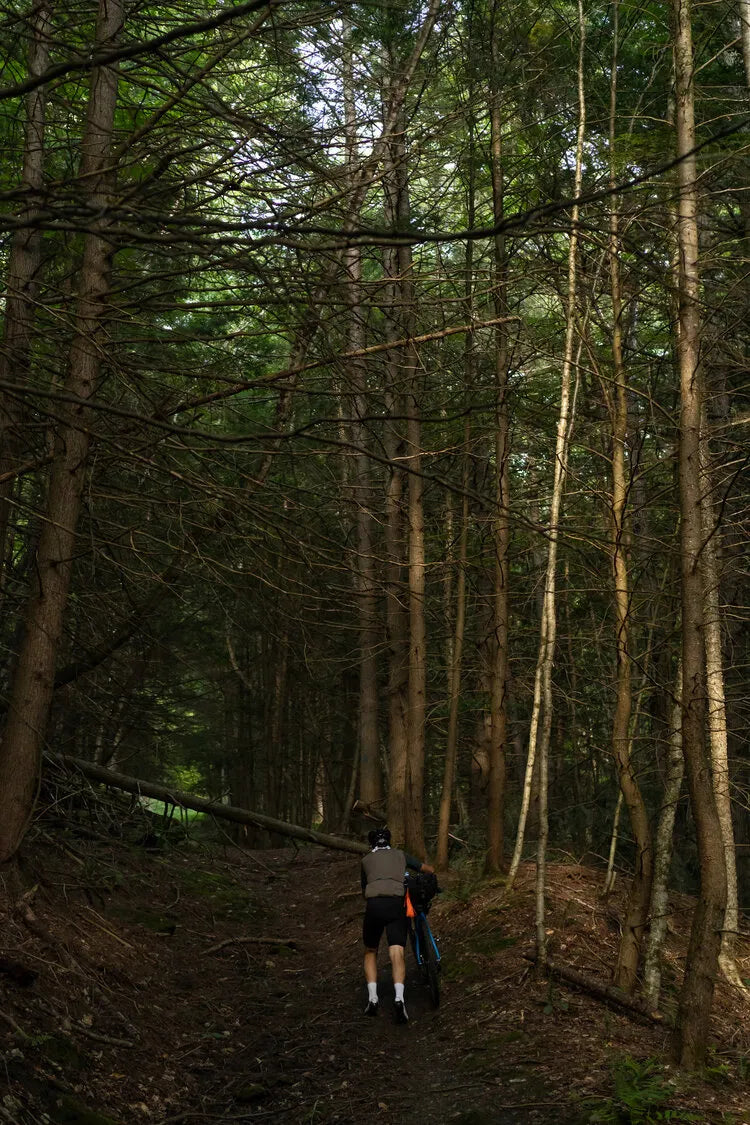
At 5:30 pm, wet, cold and tired, I was desperate to get to my campsite and set up shop for the night. With 1.5 miles to go to Day 2’s destination, the forest road that was supposed to lead to the campsite according to the map, did not exist. Not even remotely. It was time to map a bypass. There I was headed up into the woods on another Class 4 unmaintained gravel road that became way too thick and overgrown to get through. It was getting late, and I had just wasted a half hour bouncing around through the woods. It was time for bypass number two. This one worked, but the sizable moose droppings along the way should have raised a red flag.
After pedaling through the woods for a bit, the trail hung a right turn and passing through some mystical flowy singletrack with thick, thigh-high grass on either side, I was convinced that all the ticks in the State of Vermont were now attaching themselves to my legs. After half a mile, the woods opened up to a glorious clearing and the Wahoo signaled end of route. The sun was shining, the crickets chirping and not a human soul besides my own could be seen or heard for miles. Despite that fact, some very loud thuds and sounds emanated from the woods across the field. I knew I wasn’t alone. The red flag is now officially raised. Remaining optimistic, I pitched my tent, heated up some Himalayan beans and lentils and settled into the forest, knowing full-well I was a humble and vulnerable visitor in a world I had zero control over.
Day 3 - Washington to Chittenden Brook Campground
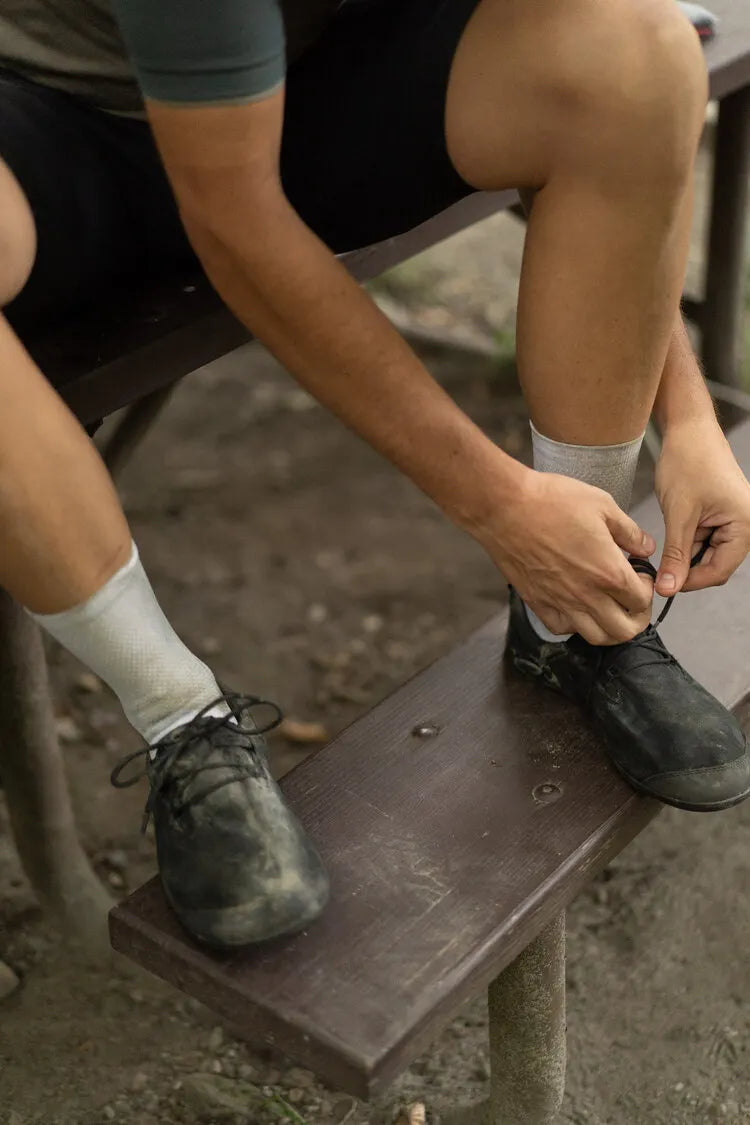
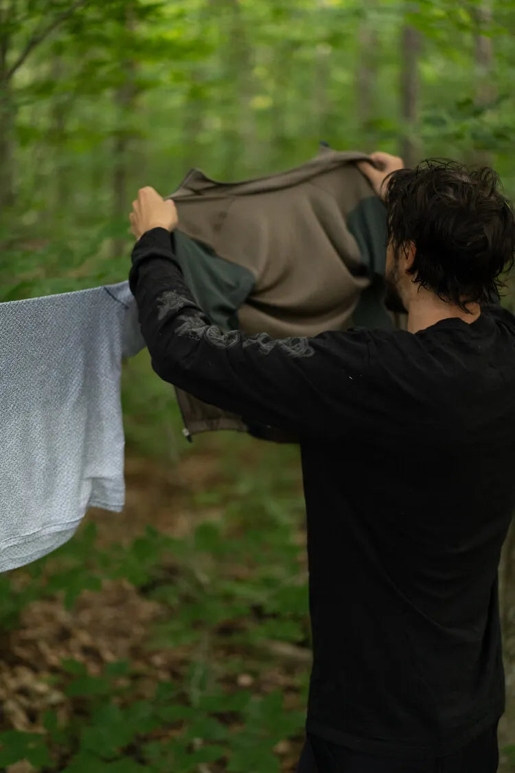
At 5:00 am I was ready to get the hell out of Washington State Forest. I marched through the woods to my bear bag expecting it to be ripped to shreds with wrappers of my favorite gummies strewn across the forest floor. To my surprise however, the bear bag was intact. I took it down, got the bike loaded up, thanked the trees for their hospitality and got out of dodge. I rolled into Washington, Vermont around 7:00 am and set up shop at a picnic table outside the local elementary school. I unpacked my bags to let all my damp items dry out and heated up a breakfast scramble knowing full well that the most intense challenge of the route lay on the road directly ahead.
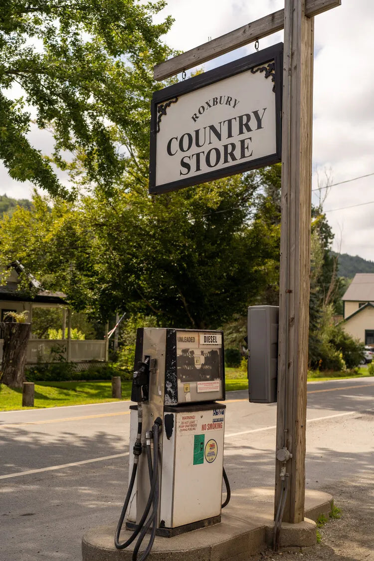
Day 3 of this route was created by a delusional madman, oh that’s me. There were 75 miles ahead, with 9,500 feet of elevation gain. Today the plan to conquer 3 of the 6 mighty Vermont mountain gaps was about to come to fruition. Lincoln Gap was the highlight for the day. Featuring a 1-mile section at an average grade of 20%, it is considered to be the steepest paved mile in America. But Roxbury Gap was first on the menu. 2.2 miles at 9% average incline on gravel and stone views that make you feel like you are riding on a mini version of Mars. Being cautious not to let my heart rate drift too high, I made it up and over Roxbury Gap and into the long descent towards Warren, Vermont.
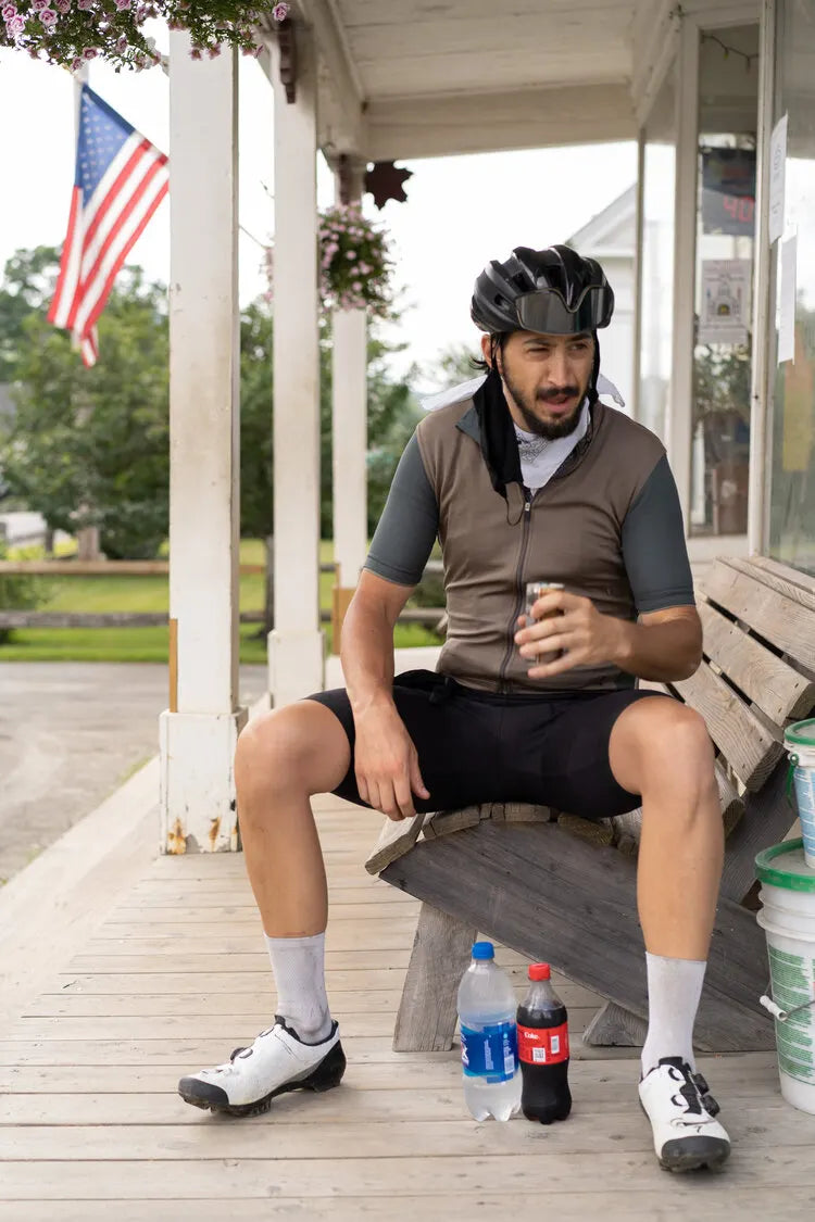
I housed a thick turkey sandwich at the Warren Country Store and procrastinated knowing that the unforgiving Lincoln Gap was next. It was the moment this trip was designed for. I saddled up and headed for it thinking to myself, how bad could it be?Very, very bad, is how bad it could be. I’ve ridden road bikes since I was 13 years old. I led hundreds of rides for Rapha across the Northeast in my career. Never in my life have I spent 30 minutes pushing one pedal stroke at a time devoting all my physical energy and every neuron of mental focus to keeping those cranks moving. If I stopped pedaling, I’d fall over and simply have no way of starting up again due to the steepness of the road. As I suffered one pedal stroke at a time I thought to myself, who’s stupid idea was it to build a road here? And who’s stupid idea was it to ride their loaded bike up this thing? The answer to the second question, was me. Under normal circumstances, I would get up out of the saddle on a hill this steep, but the bike was simply too heavy, and I knew my heart rate would drift too high to make it up the climb. After enough pedal strokes, and unwavering focus, I reached the top. No time to celebrate though, 40 miles and 5,000+ feet of gain left to go, and it wasn’t getting any earlier.
The gravel road through the Green Mountain National Forest south towards Brandon, VT was loose and dusty and no easy feat. It was actually the loosest gravel I encountered on the trip, and despite it being a false flat, it took a ton of effort and focus. I felt that old familiar feeling of the bonk beginning to set in. You can feel the energy draining out through your pores, develop a bit of a cold sweat, and know if you don’t eat something immediately, you’ll likely pass out. On the side of the road I pulled off and downed a few fig bars and the surviving gummies from my bear bag. After a quick pit stop in a town called Forest Dale, I headed up the longest climb of the journey: Brandon Gap. 5 miles of freshly paved tarmac at 5% was a welcome and pleasant ascent in contrast to what I had endured prior, and I was feeling strong.
I breezed past some hikers at the top of the climb crossing on the AT (Appalachian Trail) and conquered a few more punchy gravel hills to my campground for the evening: Chittenden Brook Campground in the Green Mountain National Forest. For the first time on my trip, I was surrounded by humans at a campground, with their packed cars, towers of chopped firewood, and enough beer to supply a 7-Eleven. My neighbors looked a bit freaked out as I walked around with my folding saw hauling 20-foot logs of downed branches back to my fire pit. This was actually the first time I got to use the saw and I was nervous and excited to make a huge fire. I have historically been very weak at lighting fires, but was determined to make it happen. After collecting a significant amount of wood of all sizes and slicing through a 20-foot branch, a foundation came together. Fanning the small flame with a repurposed cutting board and adding more and more kindling, the heat began to emanate and the flame grew. Once the two base logs caught, I knew I was in business and stacked up the sexiest log cabin fire this bikepacker has ever seen, but I’m biased. Night 3 was exactly the relaxing, stress-free break I needed, and I had a few beers from Forest Dale to celebrate the day’s accomplishments.
Day 4 - Chittenden Brook Campground to Londonderry
At 9:00am, the 70-mile spin South through the Green Mountain National Forest began. The weather radar was blotched with rain all over the place. After burning around 15,000 calories over the previous three days, I woke up starving, but I had to keep moving to beat the storm. A quick stop at McDonald’s in Rutland, VT for some fries did the trick. I was determined to maintain a relaxed pace, stay dry, and make it back to Londonderry before nightfall.
Only close to base, with 6 miles away from Londonderry, I decided to take a chance and stop again. I would not let the incoming storm sabotage the original plan to stop at the Vermont Country Store in Weston, VT for a maple swirl ice cream and some lemonade. As I sat on the bench eating my ice cream, I looked up at the sky and noticed the massive thunder cloud looming overhead. With only 6 miles to go. I crushed the ice cream and got back on the rig to finish this thing. Somehow I was feeling a lot of energy in the legs, and it was enough to get me around the thunder cloud and catch just a light sprinkle of rain before arriving in Londonderry around 7:00pm with 267 miles and nearly 30,000 feet of elevation gain in my legs.
Summary - After The Pain Subsided
If you’re still reading this which most of you probably aren’t, you might be thinking that a lot of weird things happened off the bike and a lot of suffering went down on the bike. You’re not wrong. But after entering the sport at the age of 13, and riding for a living throughout the years, bikepacking helped me discover a new way to connect with the bike. Not having a ton of camping experience added to the fun and challenge to improve my skills. If you’re in for some new adventures, and don’t mind venturing out of your comfort zone, I highly recommend trying it for yourself. I’m always happy to chat about my gear, setup, strategies, hits & misses, so don’t be a stranger.
My kit of choice for this ride was Isadore Base layer, Isadore Classic Jersey, and Isadore Signature Bibs. I rolled on HiFi wheels, and used my favorite new Restrap Saddle Bag to carry my equipment. Special thanks to Lisa at the Vermont State Parks Department.


